+++*

Symbolic Forest

A homage to loading screens.

Blog : Post Category : Photobloggery : Page 2

Pictures from the past (part one)

Some more digital archaeology

I mentioned in Saturday’s post that I’ve recently been pulling data off a hard disk I haven’t touched for more years than I care to think about, and saving the things that are worth saving. The original text of my degree dissertation, for example, which I thought I’d lost, and more than one terrible short story. Photos that are even older, that I’d had scanned in for one reason and another. I thought it might be worth sharing a few bits and pieces here.

First off, this post from May 2006 about local politics was picked to be quoted in The Guardian, for some reason. So, naturally, I saved an image of the clipping.

Me quoted in The Guardian

More people probably skimmed that quote than anything else I’ve ever written on here, at least to date, but I recall it didn’t lead to any noticeable spike in traffic, showing that people just don’t bother to type in URIs they read in newspapers.

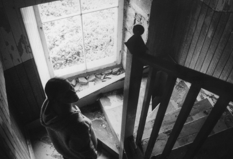
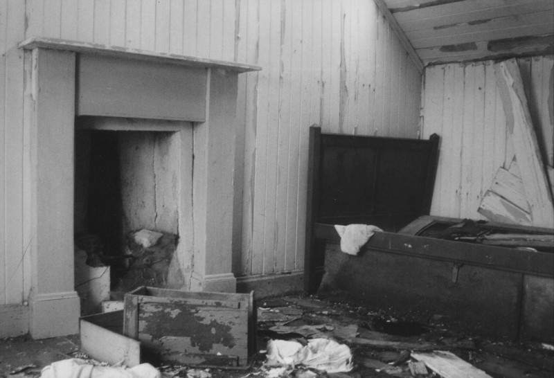
Then, among the black and white photos, these pictures of an empty croft on the edge of the village of Calanais, in the Outer Hebrides. It stood in the middle of a tongue of land sticking out into Loch Róg, with nothing but grassland all around it, so you could almost imagine you were in that famous Andrew Wyeth painting. From the fragments of newspapers we found, it had last been lived in some time in the mid-1970s.
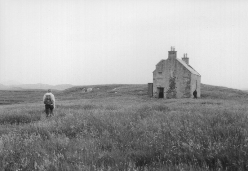
Empty house, Calanais

Empty house, Calanais

Empty house, Calanais

When I was in the Outer Hebrides, doing archaeological things, it was standard practice to carry two cameras: one loaded with black and white film, for print, and one loaded with colour slide film, so you could lecture people. These photos are from the same trip as the empty house. The first I think shows the Ullapool ferry approaching Stornoway somewhere on the east coast of Lewis; the others are another random evening around Calanais, probably with a large supply of stubby bottles of beer. I think the croft you can see in the middle picture is the same one as in the set above.

Ferry approaching Stornoway

Around Calanais

The Calanais I stones

Some of the colour photos on that trip have never been scanned in and I think I’ve hardly even looked at them; these ones were scanned by someone I was briefly seeing, years ago, who had access to a film scanner, and scanned as many as would fit onto one CD. You never know, maybe I’ll dig the others out one day. There will probably be a few more of these posts to come, too.

Sailing away

A visit to an iconic place

A trip away last weekend, to what is arguably one of the most iconic sites in British, or at least Anglo-Saxon, archaeology. It’s been famous since the 1930s, there have been TV series made about it, and it has shaped the way we see Anglo-Saxon Britain ever since. The site I’m talking about is: Sutton Hoo.

Sutton Hoo

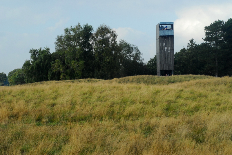
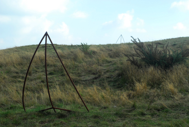
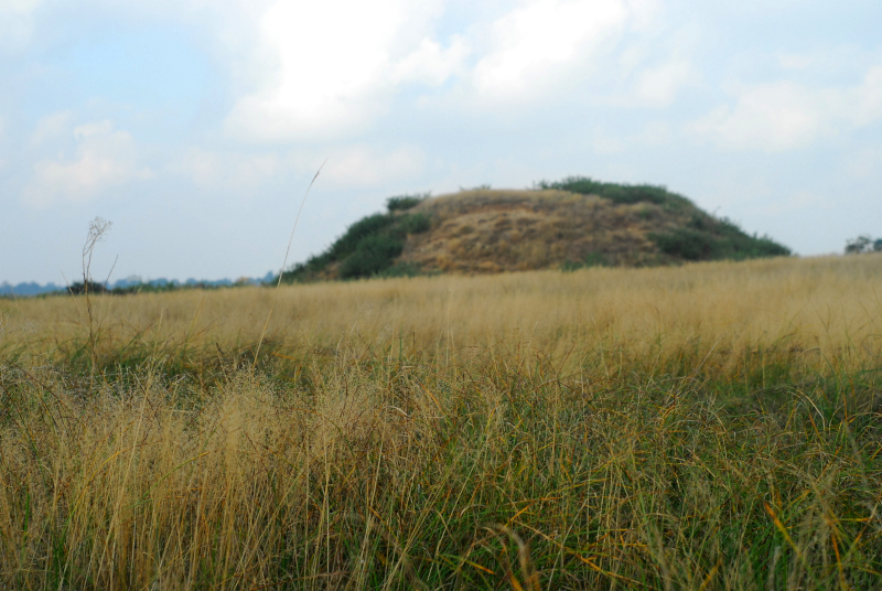
Given that Sutton Hoo is only a few miles outside Ipswich, I met up with regular correspondant Sarah from Ipswich and her husband and dog. Sarah is almost as fascinated by archaeology as I am, which is probably a good thing because at first sight there isn’t much to see at Sutton Hoo itself. The “royal burial ground”, the field where all the famous archaeology was found, is a particularly lumpy and humpy fallow field, covered in long grass with a scattering of gorse and broom bushes, and with a stark, narrow viewing tower watching over it. The famous ship burial, Mound 1, is marked by steel rods where the prow and stern of the ship originally were.

Mound 1 at Sutton Hoo

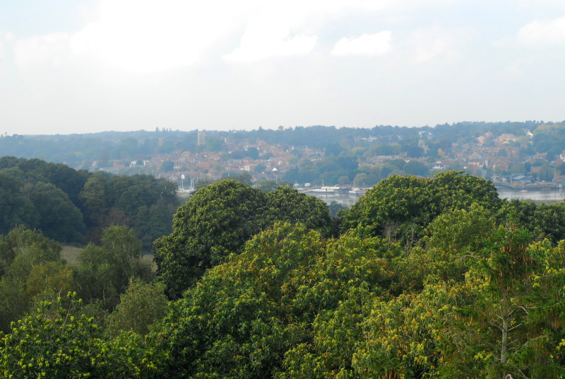
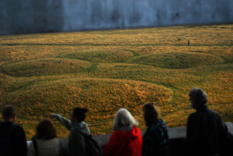
If you’re interested in history, there’s always an awful lot to be gained from visiting a site in person, not just reading about it. Archaeological literature, particularly the older sort, tends to focus very much on the confines of sites themselves without considering their wider perspective in the landscape. I hadn’t realised, for example, just how high up the burial site is above the river. When you think of a ship burial, you tend to assume it would be close to a riverbank. Sutton Hoo does overlook a river, but it’s quite a long way from it: about half a mile away and, more importantly, about a hundred feet up. In modern times a wood has grown up, but when it was built the burial mounds would have been a commanding sight from a ship on the river. One of the mounds has been reconstructed to roughly its original height, to give visitors some idea of how it might have looked within a decade or two of construction.
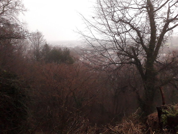
View of Woodbridge and the River Deben from Sutton Hoo

Mound 2 sits in the long grass

In the nearby National Trust museum, they are unequivocal that the king buried in the ship burial was Raedwald of East Anglia. This is something we will never know for certain, whatever techniques of analysis we manage to develop in the future. The chances are it was likely Raedwald, or his son Eorpwald, or with an outside chance his other son Sigebehrt. We’ll never really know, but we do know that, whoever it was, he was left-handed.

Watching from the viewing tower

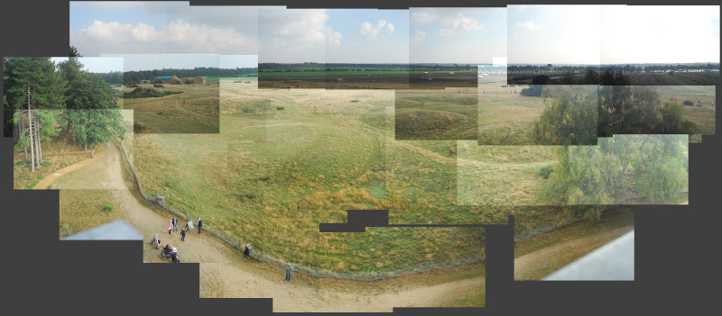
The new viewing tower, built from galvanised steel, gives an excellent bird’s eye view of the site. I couldn’t resist spending a few minutes taking photos of the scene so I could stitch it together into a panorama-collage, to give you some idea of what the whole place looks like. The view a seagull would have got, maybe, the day that Raedwald-or-whoever was interred in his warship under a great mound of bare earth.
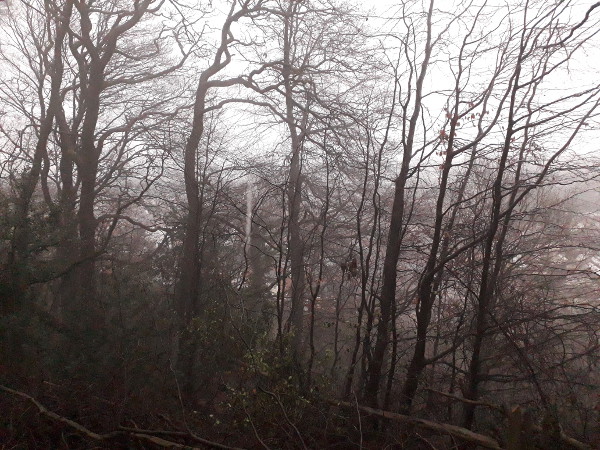
The cemetery

No person would have seen it that way at the time, of course; very few until this year, in fact. And now we can.

Do we get a better idea of Sutton Hoo by visiting these mounds, instead of going to London and seeing the artefacts in the British Museum? I think we do. This was an important place, one which has to some degree survived when many other similar important places have been lost to us forever. It might have changed significantly in the last 1,500 years, but nevertheless, you can’t understand the site, you can’t feel its relationship with the sea, with the river, with the surrounding landscape, unless you have actually been there and seen it. It might be a field of grassy lumps, but it is definitely worth the trip.

Test shots

Or, looking up at the sky

A couple of weeks ago now, I mentioned that I’d been outside and pointed the camera up at the sky to see what happened. It’s about time, I thought yesterday, that I tried to actually see if I could make the photos that resulted useful in some way.

This is all down to a friend of mine, Anonymous Astrophotographer, who I won’t embarrass by naming, but who manages to go out regularly with a camera and a tripod and even without a telescope produce beautiful pictures of the Milky Way and various other astronomical phenomena. I asked them what their secret was. “Nothing really,” they claimed, but gave me a bit of advice on what sort of software to try a bit of image-stacking and so on.

I thought, you see, that given that The Child Who Likes Animals Space’s telescope doesn’t have an equatorial mount, it would be pointless to try to attach a camera to it. You can, after all, visibly see everything moving if you use the highest-magnification eyepiece we’ve got at present. Equally, surely it would be pointless just to point my SLR up into the sky? Apparently, not, Astrophotographer said. The trick is to take lots of shots with relatively short exposure and stack those together in software. The exposure should be short enough that things don’t get smeared out across the sky as the Earth spins—anything over 20 seconds is probably too long there—and the number of shots should in theory even out random noise in the sensor, stray birds, and so on.

As a first attempt, I thought, there’s no point trying to get sight of anything particularly special or impressive, so I pointed the camera to a random fairly dull patch of sky and see what happened. You can click to see a larger version.

Draco

This is an arbitrary area in the constellation of Draco. In the middle you have Aldhibah, or ζ Draconis, with Athebyne (η Draconis) over on the right and the triangle of Alakahan, Aldhiba and Dziban over on the left. The faintest stars you can see in this image are about mag. 7.5, maybe a little fainter, which is a bit fainter than you could see with the naked eye even in perfect conditions. This image has been adjusted slightly to lower the noise; in the original you could just about persuade yourself you could see mag. 8 objects, but they were barely distinguishable from noise. The Cat’s Eye Nebula (NGC 6543) and the Lost In Space Galaxy (NGC 6503) are both theoretically in the picture, in the lower left, but they’re not visible; the former can just about be spotted as a faint pale patch very different in shade to the noise around it on the original images, if you know exactly where to look.

The Plough Handle

Here’s the handle of The Plough, with the stars Mizar and Alcor together in the middle. This one really doesn’t look much at a small size, but if you click through you can see how well the camera captured the different colours and different shades of starlight. Again, the darkest things visible here are about mag. 7.5. The Pinwheel Galaxy is right in the middle of the lower centre, but at mag. 8 or so doesn’t come out of the noise at all.

What do I need to do to make things better? Well, for one thing, the seeing wasn’t actually very good on the night I tried this. As I said in the previous post I had to give up fairly quickly due to cloud. What I hadn’t realised, until I saw the photos, was that faint clouds, lit up by moonlight, were already rolling in well before it became obvious to the naked eye. Trying some photography again on a clearer night would definitely be a start. Secondly, my SLR is pretty old now, dating to the early 2000s. The sensor is, compared to a more modern one, fairly noisy at low light levels. I’m not going to rush out and buy a new camera tomorrow, but I do suspect that if I did, the attempts above would get quite a bit better.

We now resume your regular programming

I'll explain the pun later

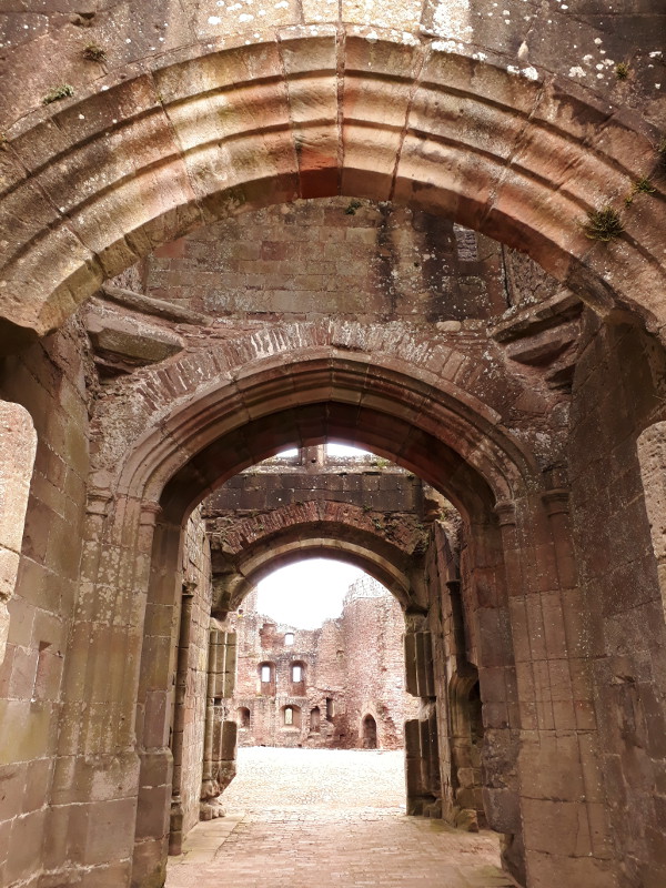
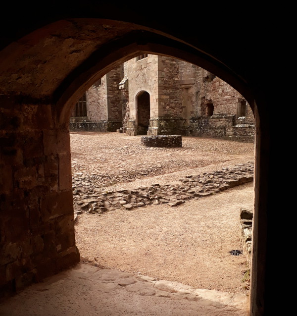
With travel now allowed within Wales, and places starting to open up, we can now go out and visit castles and suchlike again. Cadw, the Welsh historic monuments service, are starting to open up a number of their sites to carefully-controlled numbers of prebooked visitors at sites where it’s feasible. You can’t see the fantastic Victorian Gothic interiors of Castell Coch, but you can go and visit many of the famous castle ruins of Wales, the most famous being the “Edwardian subjugation” castles of the North. Caernarfon or Conwy are a bit far for a day trip from here, though. Instead, we set out for somewhere a bit more local, and walked through the complex arched gateways of Castell Rhaglan, Raglan Castle.

Castle Gateway

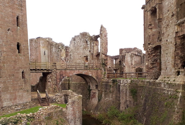
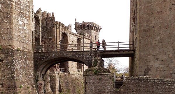
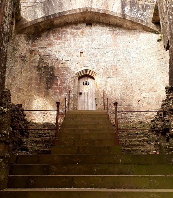
Raglan covers a large area but is rather unusual in that its keep is a moated hexagonal tower outside the main castle bailey, with a high-level bridge linking the two—in fact, in the Tudor period, it might even have been a bi-level bridge. The various levels and arches give you fantasically complex views that are almost like the works of Piranesi.

Raglan Castle

Raglan Castle

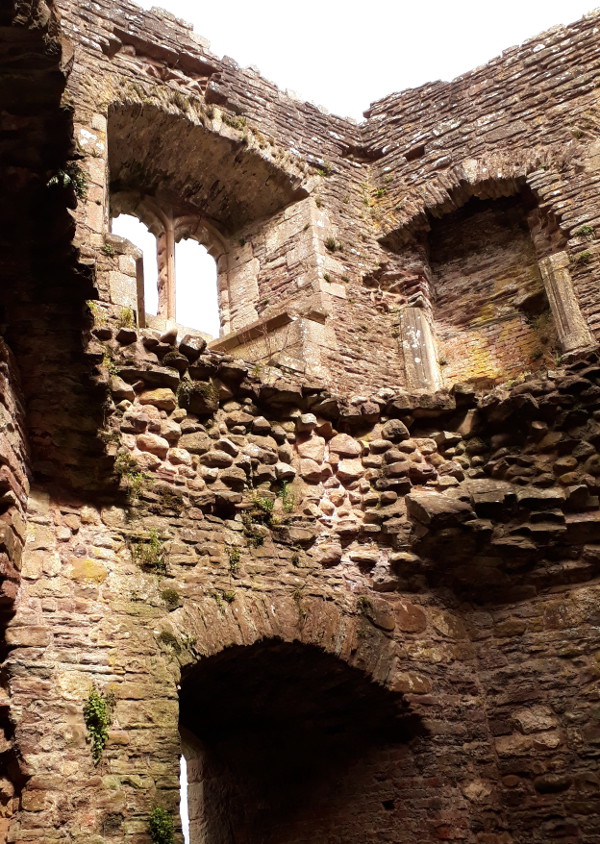
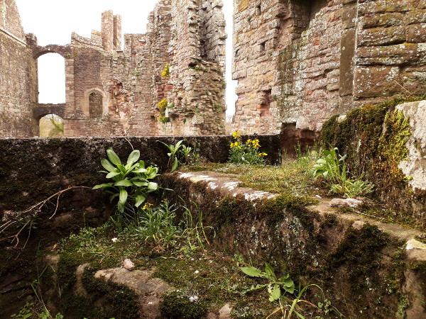
Raglan was still a sumptuous residence all through the Tudor period, right up until the Civil War. In the Stuart period, it even had a fountain powered by some form of steam engine, which must have predated the machines of Papin or of Savery. The upshot of this today is that, compared to the castles of North Wales I mentioned earlier, it has parts of rather more modern construction. There are substantial chunks rebuilt in brick, for example; finely-detailed stone carvings; and rooms with large rectangular windows. Nevertheless, it is still a ruin: in the Civil War its aristocratic owners naturally supported the King’s side, and as a result the castle surrendered to General Fairfax in the summer of 1646. The castle was made uninhabitable, and sadly, its library destroyed. It still today has no roof to speak of, few floors, and many stone stairs leading nowhere.

Raglan Castle

Raglan Castle

Raglan Castle

Raglan Castle

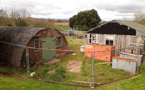
In the Tudor and Stuart periods the castle was surrounded by several terraces of formal gardens, which also no longer survive. Indeed, even if the castle had survived the Civil War, the gardens would no doubt have been lost to changes in aristocratic taste in any case; very few Tudor houses have had their original gardens survive continuously. The castle today is surrounded by the rough, rounded-off and grassed-over remains of the terraces, scattered with picnic benches, and with a shed and a Nissen hut tucked away in a discreet corner. Nevertheless, you can still look out from the castle across the rolling farmland that surrounds it, over to the Blorenge and the Sugar Loaf on the horizon.

Every castle needs a shed

Looking towards the Sugar Loaf

I must go back again some time with the Proper Camera, to take a photo which shows the Sugar Loaf as clearly as it stands out to the naked eye. Moreover, if the Sugar Loaf disappeared from sight, as it did when we were there, you know it’s time to seek shelter before the weather reaches you.

Incidentally, if you read the subtitle at the top of this post, you might still be wondering where the pun is. It’s not a very good one, but it is a bilingual one. My Welsh vocabulary is slowly improving; and all day, I had the same thought going around in my head, that if I was commissioning shows at a Welsh TV station I’d have one every day called “The Raglan Programme”, just because its title would be Y Rhaglen Rhaglan. I’ve done better, I have to admit.

Photo post of the week

Signs that spring is on the way

Work has stolen and sapped all of my energy this week. I’ve still found time, though, to go out walking; and although the weather has been bitterly cold there are signs that spring is coming. The trees are full of songbirds, too.

Pylon

I’m entranced by this fallen electricity pylon, lying on its side battered and derelict, its structs bent and broken like some ancient reptilian fossil. My own local beached plesiosaur. I keep watching it from different angles; I really should come by with the Proper Camera.

Mynydd Machen

Similarly, I keep watching Mynydd Machen from different angles. I can see it from my window; sometimes invisible, sometimes flat and two-dimensional in mist, sometimes so bright and bold I could reach out and pick it up. On the wide-angle phone camera, though, it always looks small and disappointing.

Railway line

There will naturally be a proper railway history post at some point; I just need to put it together and decide exactly what I want to say, other than “this railway is much older than all those fancy modern upstarts like that one from Manchester to Liverpool”.

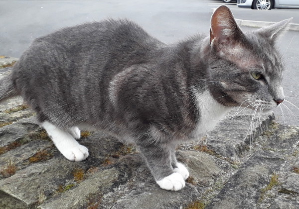
Grey cat

And finally, all cats are grey, as The Cure once upon a time said.

Photo post of the week

More bits of countryside

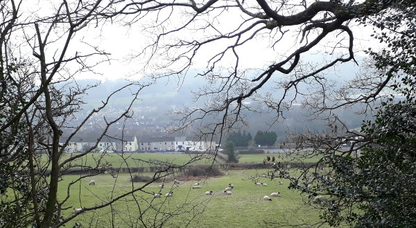
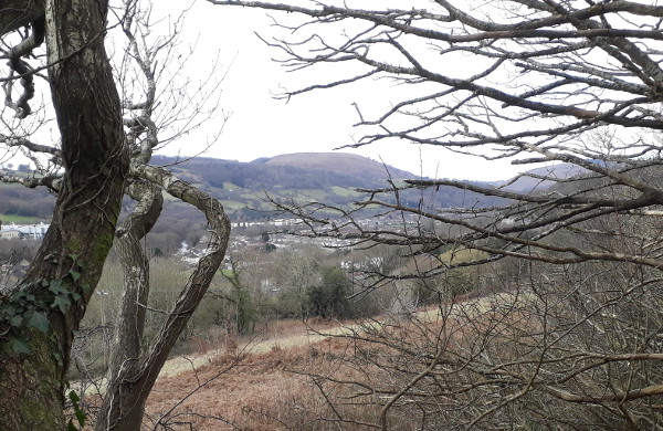
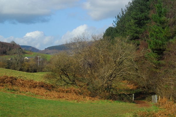
The ongoing February, which feels as if it is the longest month of the past 12, is sapping my writing energy. Hopefully the oncoming spring will sort that out: today I saw my first queen bumblebee of the year flying purposefully around the neighbourhood looking for a spot to start her nest. This post is something of an appendix to the previous, with a few more photos. I’ve been repeating previous walks, but this time with the good camera.

Countryside

Countryside

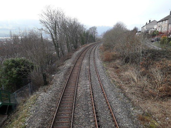
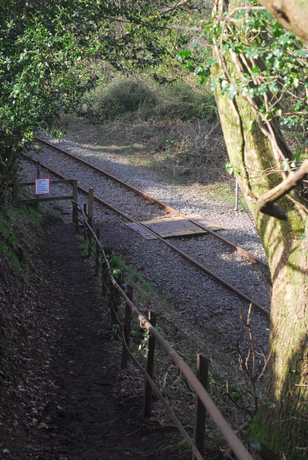
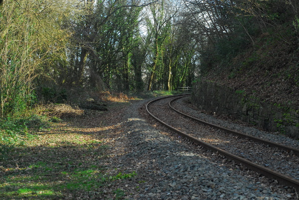
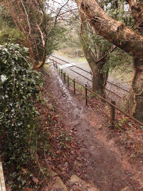
Railway

I’ve been repeating previous walks, but this time with the good camera, which is why regular readers might spot some similarities. At some point I will tell you much, much more about the history of this particular railway, but not today.

Railway

It was built in the 1820s, as a plateway; I suspect that low wall on the right was put there in the 1890s when it was widened from single to double track.

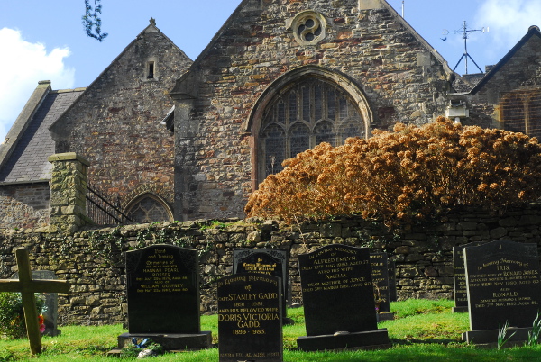
Church

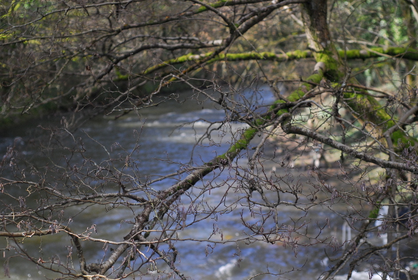
River

Hopefully as the weather warms and the seasons change, my writing energy will come back too.

A Miscellany

Or, photo post of the week by another name

I was asked the other day to provide a photo of The Children for a family project. Nothing difficult, nothing complicated, just a photo of the two of them, together, both looking at the camera, such as you might want to put on your wall. So I spent a while one evening going through all the photos I’ve taken since the start of 2020, and did I find a single photo that matches that description? Just one with both of them in it, looking at the camera, not pulling a daft face? Not one. Zero. Nil.

Oh well, I suppose that means that over the weekend I’ll have to try to actually get them to appear alongside each other in a reasonably-sensible-looking conventional portrait photo at some point. It did make me think, though, that actually over the past year I did take a few photos that were not too bad but are buried away in my archive. So here is a very random miscellany, from the last year or so.

Wayland's Smithy

Woods near Abergavenny

Exploring a riverbank

By Glastonbury Tor

Field of sheep, Stonehenge

Photo post of the week

Ger y camlas

One aspect of moving house, especially if you move to a completely different neighbourhood or another town altogether, is the joy you can have in exploring the new area, finding all the interesting corners and places to go. In the current hospitals-overflowing stay-at-home situation, this is a bit limited; but at least there is exploration that can still be done on foot. In Bristol I was getting rather jaded of all the places I could visit on foot, even when it led to interesting local history blog posts. Now, there’s a whole new set of avenues of local history to explore.

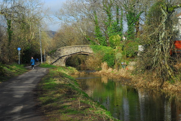
One of the spots I can reach on foot is a quiet, sleepy canal backwater. You can’t even use it as a canal any more; most of the road bridges have been demolished or flattened out (or are roads that didn’t even exist when the canal was in use), so you can’t get any sort of boat under them. It’s essentially a long pond, busy with ducks and moorhens, and with its towpath busy with walkers.

Along the canal

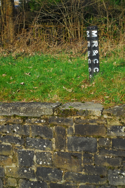
Along the canalbank there are a few surviving hints of its industrial archaeology. Here, for example, is a mid-19th-century boundary post.

Canal boundary

This post must be from some decades after the canal was built, because “MR&CC” is the Monmouthshire Railway & Canal Company; and the canal company only added “Railway” into its name in the 1850s. The canal—the Crumlin arm of the Monmouthshire Canal—was built in the 1790s, but within 10 years of its opening some of its main users were looking to replace it with a railway. Not wanting to lose revenue, the canal company agreed to split the railway* midway: the lower half was built by the canal company and the upper by the owners of the Tredegar ironworks, with the dividing line at the nine-mile mark eventually becoming the village of Nine Mile Point. At opening in around 1805, the combined system was the longest railway network in the world, and quite a few stretches of the route are still in use now.

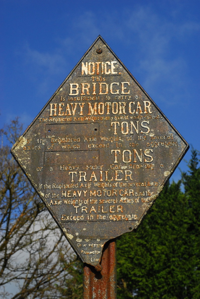
Later on, the split at Nine Mile Point was preserved. The upper section, the Sirhowy Railway, was bought by the London & North Western Railway. The canal company, though, was bought by the Great Western Railway, and some of their signage survives along the canal bank too.

GWR sign

This is a standard design of weight restriction sign—there are other GWR examples along other GWR-owned canals, and the North Yorkshire Moors Railway has a North Eastern Railway one.

No doubt I will have a lot more to say about local history in the future. As yet I’m not even sure what questions I want to ask, let alone have started to investigate the answers. At least when I do, though, I’ll be able to enjoy the scenery as I go. Even when I can only explore places I can reach on foot, there is still an awful lot to sit down and look at.

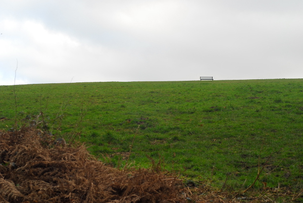
Bench

Mynydd Machen

* A quick terminology note: I’ve used the word “railway” in something of a blanket way here. The railways I’m talking about were built as what are now called “plateways”, with flanged track and unflanged wheels. At the time, in South Wales, they were generally (but not always) called “tramways” or “tramroads”.

Photo post of the week

Or, a change of scenery

Regular readers might have noticed that the site has been quiet since the weekend. It’s been quiet because I’ve been somewhat busy moving house: one of the most stressful things you can do in life, or so everyone always says. The previous post was written whilst I was surrounded by removal men trying to pack everything up into well-padded boxes. A strange experience, sitting in a corner of your front room trying to keep yourself occupied as all around you all your stuff is picked up and handled and wrapped and boxed away.

So now, the move is complete, the furniture is rearranged and at least some of the stuff is unpacked again. Everything is still a little bit topsy-turvy, though. Unpacking, I found books I thought I’d got rid of years ago; it turns out they were lurking in the cupboard under the stairs all along.

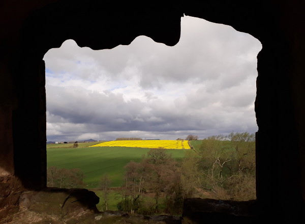
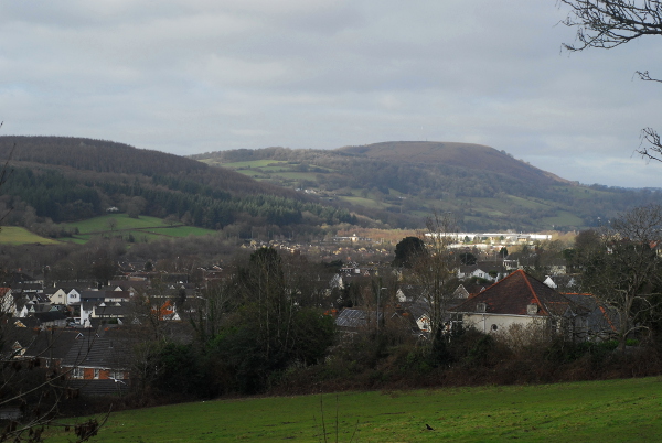
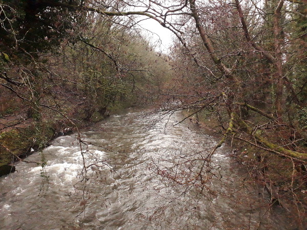
The full story of the move will have to wait until another day, partly because I have little energy at the moment for writing it down. Today, though, I did have enough energy to go for a wander in the new neighbourhood. It was pouring with rain, and after taking a few photos my phone screen became so wet it didn’t really respond to touches any more; but here are a few.

View from a hilltop

View from a hilltop

Level-ish crossing

Fast river

Snow day photos of the week

It didn't last long

When the weather forecast says there’s going to be snow I’m always slightly cynical. For one thing, I’m suspicious the forecast always errs on the side of caution when it comes to snow. Secondly, in this part of town, snow falls less and sticks less than on the higher ground of high-altitude suburbs like Clifton and Horfield. In Easton, the snow is rare and quickly turns to slush.

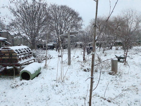
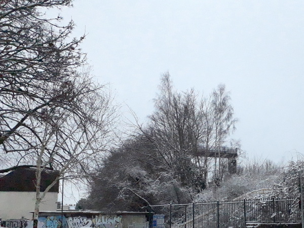
I was slightly surprised, then, when there was about an inch of lying snow when we got up this morning. Given it was fairly surely going to be half-melted by lunchtime, the only thing to do was to head outside straight away.

Snowy school field

Snowy railway embankment

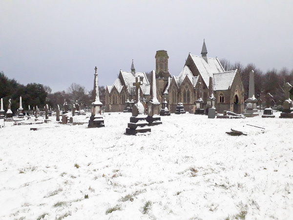
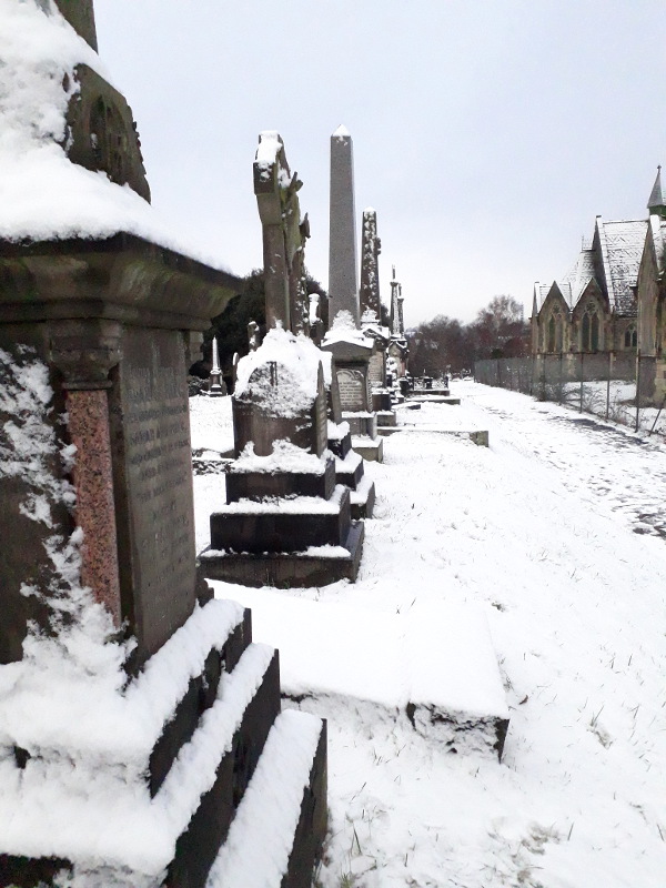
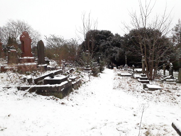
We headed to a spot that will be very familiar to regular readers: Greenbank Cemetery. Although we were an hour or so before the official opening time, the cemetery was already busy with people who had sneaked through the many, many gaps in the fence. The slopes near the gates were bigger with sledgers, so we headed to the quieter parts where the snows were deeper.

Snowy cemetery

Snowy cemetery

Snowy cemetery

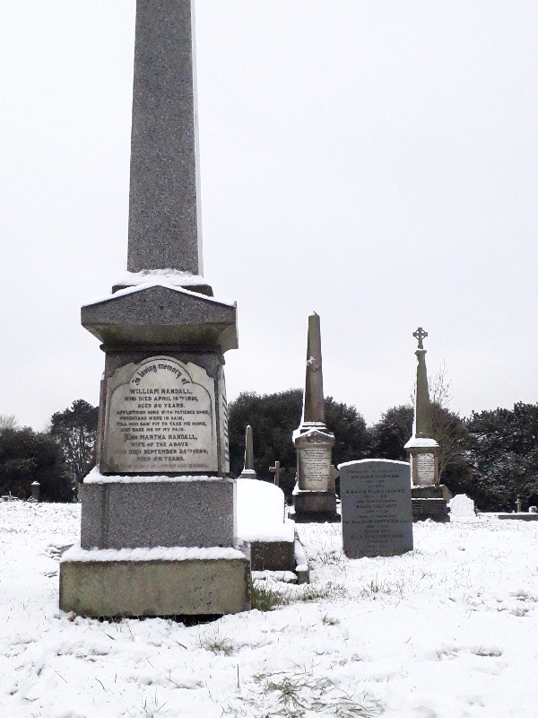
I was quite taken by this piece of Victorian doggerel that I’ve never noticed in the cemetery before.

This is a terrible poem

In loving memory of William Randall, who died April 14th 1891, aged 56 years.

Afflictions sore with patience bore,
Physicians were in vain,
Till God saw fit to take me home,
And ease me of my pain.

Also Martha Randall, wife of the above, who died September 25th 1894, aged 58 years.

There wasn’t space for an equally awful poem for Martha as well; or for their children, commemorated around the other side.

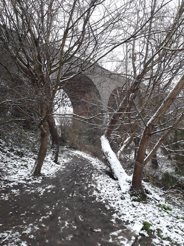
Beside the cemetery, the nature reserve under the disused Midland Railway viaduct was a bit of a muddy slough. All around us the snow was melting, dripping constantly from the trees.

Nature reserve and railway viaduct

We returned home via the area’s other prime sledging spot, Rosemary Green, a part of town that I’ve been intending to write about here for a while, although in recent years its history has been thoroughly documented by the Bristol Radical History Group, culminating in the book 100 Fishponds Road: Life and Death in a Victorian Workhouse by Ball, Parkin and Mills. To cut a long story short (if you want the full story go and buy the book): to avoid increasing the council tax poor rate, the board of Eastville Workhouse thought they would save money on funerals by buying a piece of waste ground behind the workhouse, paying the Church of England’s somewhat exorbitant consecration fee, and packing dead residents into mass graves without having to pay for coffins, priests, artisanal gravediggers and the like. Through the second half of the 19th century, probably around 4,000 poor people were buried unmarked in the mass grave. About fifty years ago the workhouse was knocked down to build a housing estate. As the Church disclaimed all responsibility, the bodies were dug up by bulldozer, and the larger bones were pulled out and reburied in a second unmarked mass grave in Avonview Cemetery. The soil and the smaller bones were spread out across the site. Today, Rosemary Green is a pretty and quiet little piece of green space, grass sloping steeply down from the housing estate to a small football pitch at the bottom; but if you were to dig a hole there, you would find the soil is full of small fragments of crushed human bone from thousands of different people.

Today, of course, it was busy with sledging children and snowmen; but it was barely mid-morning and almost all the snow had already been sledged away. By the time we got home, the sound of trickling water in every gutter and drain filled the streets. Mid-afternoon, as I write this, the snow has gone with barely a sign it was here. At least I can share these photos.