Photo post of the week
Ger y camlas
One aspect of moving house, especially if you move to a completely different neighbourhood or another town altogether, is the joy you can have in exploring the new area, finding all the interesting corners and places to go. In the current hospitals-overflowing stay-at-home situation, this is a bit limited; but at least there is exploration that can still be done on foot. In Bristol I was getting rather jaded of all the places I could visit on foot, even when it led to interesting local history blog posts. Now, there’s a whole new set of avenues of local history to explore.
One of the spots I can reach on foot is a quiet, sleepy canal backwater. You can’t even use it as a canal any more; most of the road bridges have been demolished or flattened out (or are roads that didn’t even exist when the canal was in use), so you can’t get any sort of boat under them. It’s essentially a long pond, busy with ducks and moorhens, and with its towpath busy with walkers.
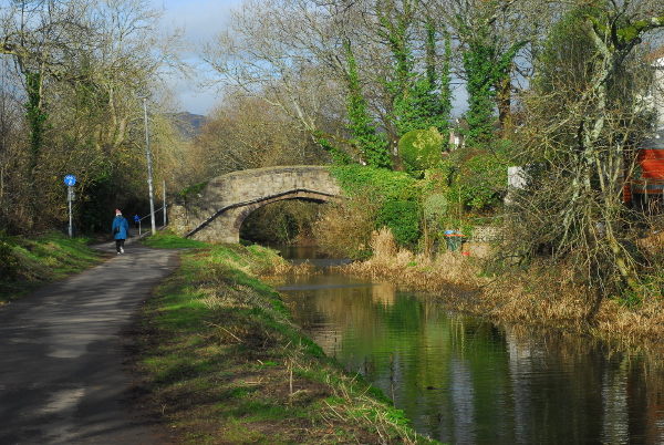
Along the canalbank there are a few surviving hints of its industrial archaeology. Here, for example, is a mid-19th-century boundary post.
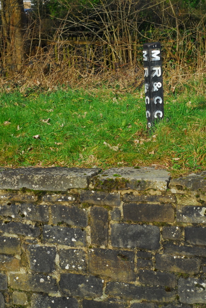
This post must be from some decades after the canal was built, because “MR&CC” is the Monmouthshire Railway & Canal Company; and the canal company only added “Railway” into its name in the 1850s. The canal—the Crumlin arm of the Monmouthshire Canal—was built in the 1790s, but within 10 years of its opening some of its main users were looking to replace it with a railway. Not wanting to lose revenue, the canal company agreed to split the railway* midway: the lower half was built by the canal company and the upper by the owners of the Tredegar ironworks, with the dividing line at the nine-mile mark eventually becoming the village of Nine Mile Point. At opening in around 1805, the combined system was the longest railway network in the world, and quite a few stretches of the route are still in use now.
Later on, the split at Nine Mile Point was preserved. The upper section, the Sirhowy Railway, was bought by the London & North Western Railway. The canal company, though, was bought by the Great Western Railway, and some of their signage survives along the canal bank too.
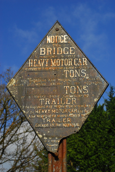
This is a standard design of weight restriction sign—there are other GWR examples along other GWR-owned canals, and the North Yorkshire Moors Railway has a North Eastern Railway one.
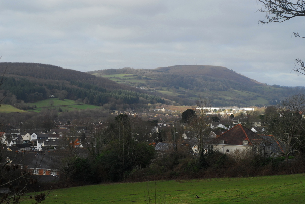
No doubt I will have a lot more to say about local history in the future. As yet I’m not even sure what questions I want to ask, let alone have started to investigate the answers. At least when I do, though, I’ll be able to enjoy the scenery as I go. Even when I can only explore places I can reach on foot, there is still an awful lot to sit down and look at.
* A quick terminology note: I’ve used the word “railway” in something of a blanket way here. The railways I’m talking about were built as what are now called “plateways”, with flanged track and unflanged wheels. At the time, in South Wales, they were generally (but not always) called “tramways” or “tramroads”.

 Home
Home