More on the spread of death
Or, the perils of trusting a map
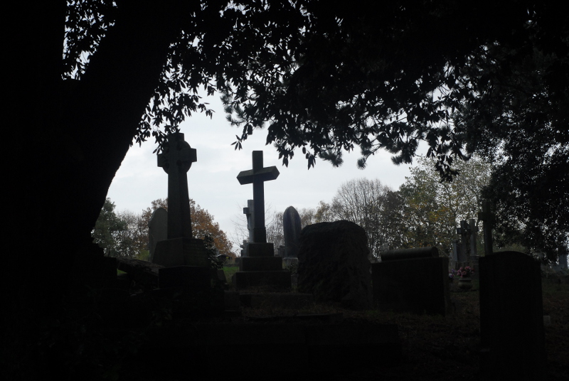
Semi-regular readers might remember that, about a month ago, I posted about Greenbank Cemetery and its history, and looked at the available historic maps online to track its growth through the late nineteenth and early twentieth centuries. This weekend I went back to Greenbank for the first time since I wrote that post, partly for the autumnal atmosphere and partly to see how much evidence is visible on the ground for the different phases of growth I identified on the maps.
The cemetery today is bounded by roads to the north and south, Greenbank Road and Greenbank View. One thing I discovered when writing the previous post is that, according to the maps, there was a phase when there were bands of allotments between the roads and the cemetery itself. The allotments seem to have been created in the Edwardian period; later, the cemetery was extended and swallowed them up. When I visited the cemetery this weekend I went to look for evidence of the northern allotment. The boundary between the cemetery and the allotments (not to mention the field that preceded them) is still clearly evident on the ground.
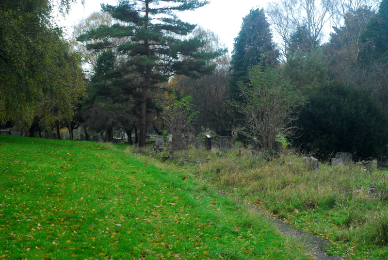
The area on the left has been part of the cemetery since, I think, its first expansion in 1880. The area on the right, where graves are packed in much more closely together, was a field at that point, then became allotments, then cemetery. If you poke around, there’s some signs that the edge of the cemetery might have been a haha-style sunken wall.
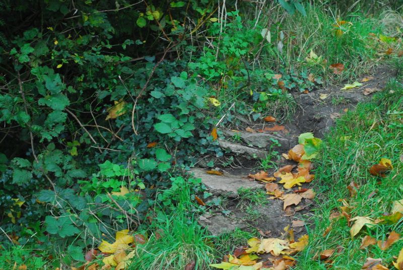
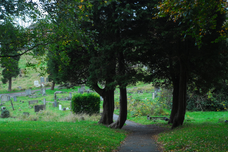
These four trees would have been on the boundary originally. I wonder if they were planted because there was a gate here from the allotments? There’s nothing marked on the map, though, and the map is quite thorough at including the cemetery’s paths, so they may not have been planted until the cemetery was extended.
I said previously that the extension of the cemetery over the allotments “must have happened some time after 1938, as a 6-inch-scale map revised that year still shows the allotments”. That map’s available on the National Library of Scotland website; here’s an extract from it.
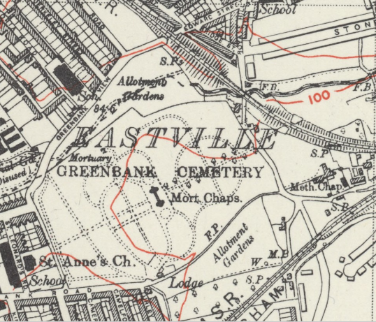
However, on walking round the area of allotments shown on this map, I quickly found that an awful lot of graves are of people who died before 1938. The dates on the headstones run back over ten years before that, to the mid-1920s.
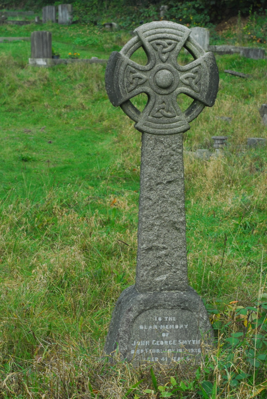
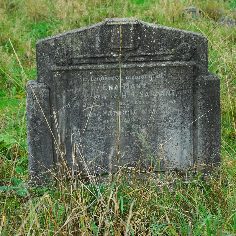
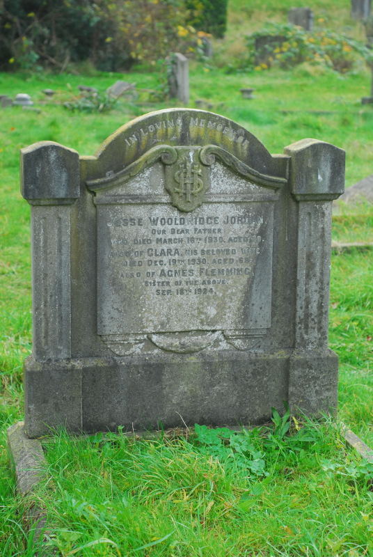
The 1920s-dated monuments run all the way up to the road, so it wasn’t a case of the cemetery taking over the allotment step by step either. Although it’s not unheard of for people to be reburied, or for people to be commemorated on headstones in spots they’re not buried in, there are so many 1920s monuments in this part of the cemetery that you can’t really use that explanation for all of them. So, unless I do at some point find some evidence that there genuinely was some sort of mass reburial and movement of graves in Greenbank Cemetery in the late 1930s, something like a Bristolian version of the building of the Paris catacombs, we have to conclude that this is a mistake on the map; or, more likely, that the map isn’t a full revision and the change in size of the cemetery was one of those changes in the real world that the Ordnance Survey didn’t bother to draw onto their maps at that point in time.
If I had copious amounts of free time, it would be very tempting to create a full catalogue of all of the monuments in Greenbank and their dates, and then develop a typology of changes in funerary design, spotting trends between different undertakers and stonemasons. It would be even more interesting still to then do the same for another large Victorian cemetery in a different part of the country, and track the regional differences. Sadly, I have nowhere near enough free time to embark on such a project. I’ll just have to wander around the cemetery, spot things like this occasionally, and enjoy the views.
Maps in this post were reproduced with the permission of the National Library of Scotland.

 Home
Home