The spread of death
Or, exploring some local history
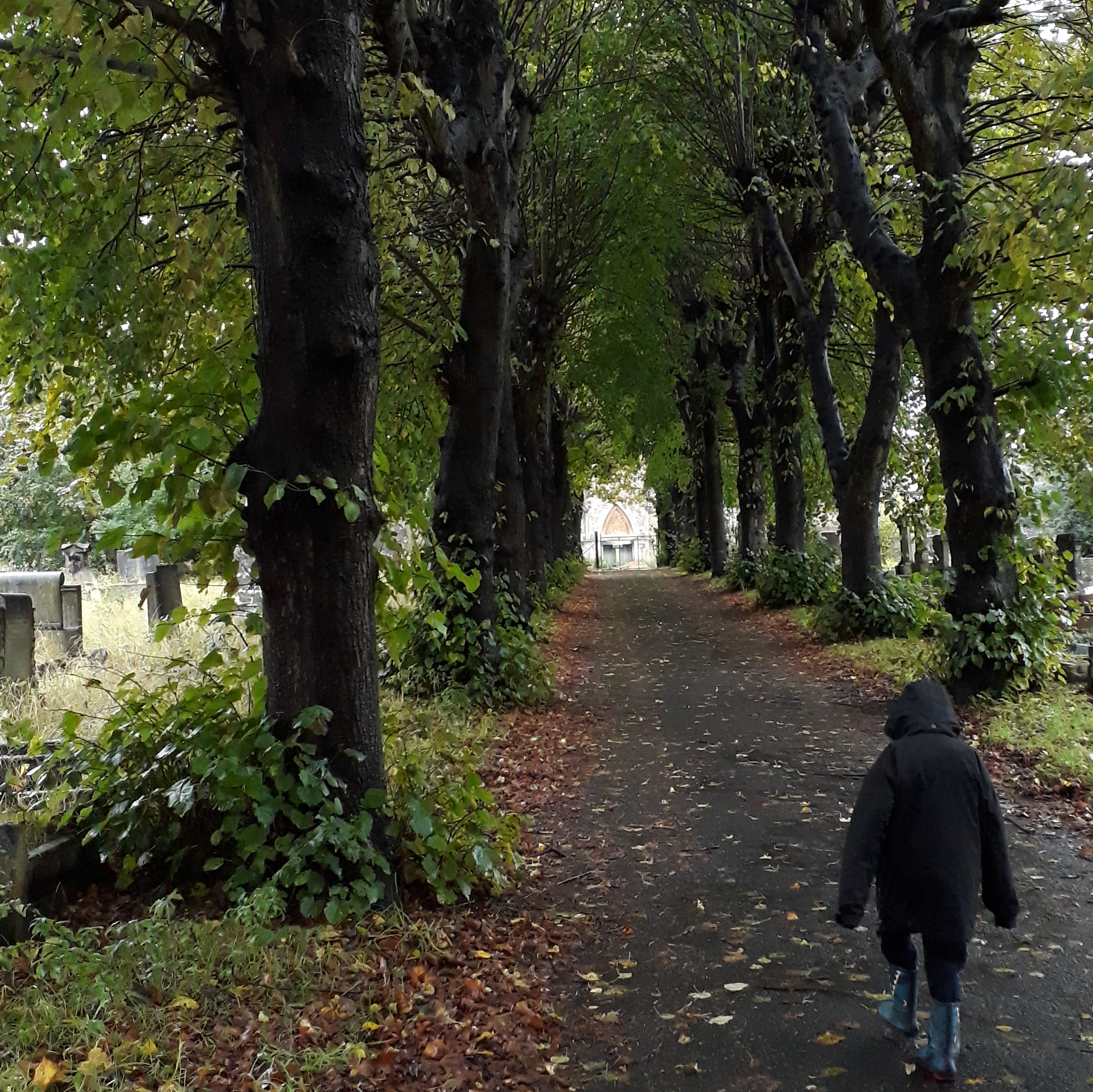
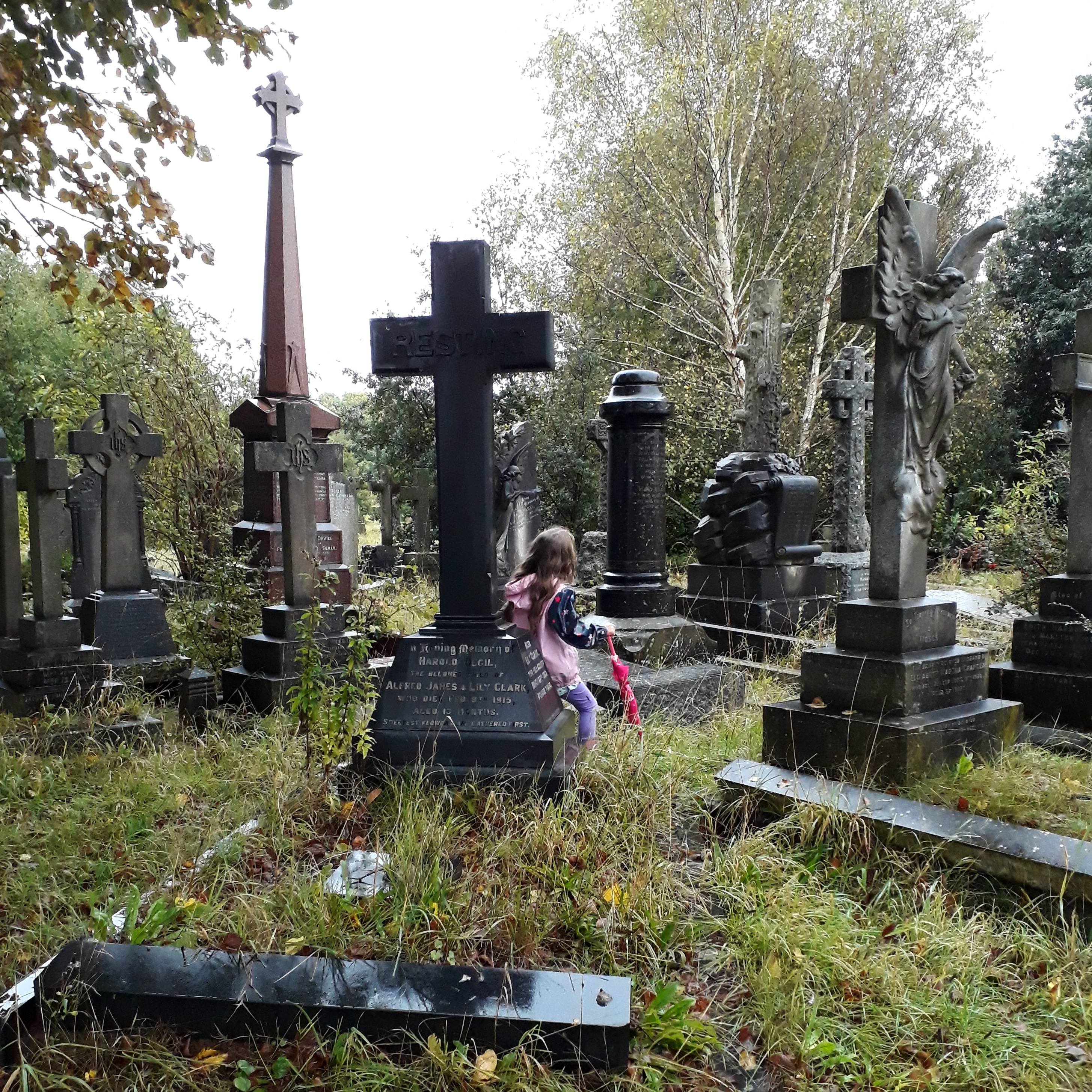
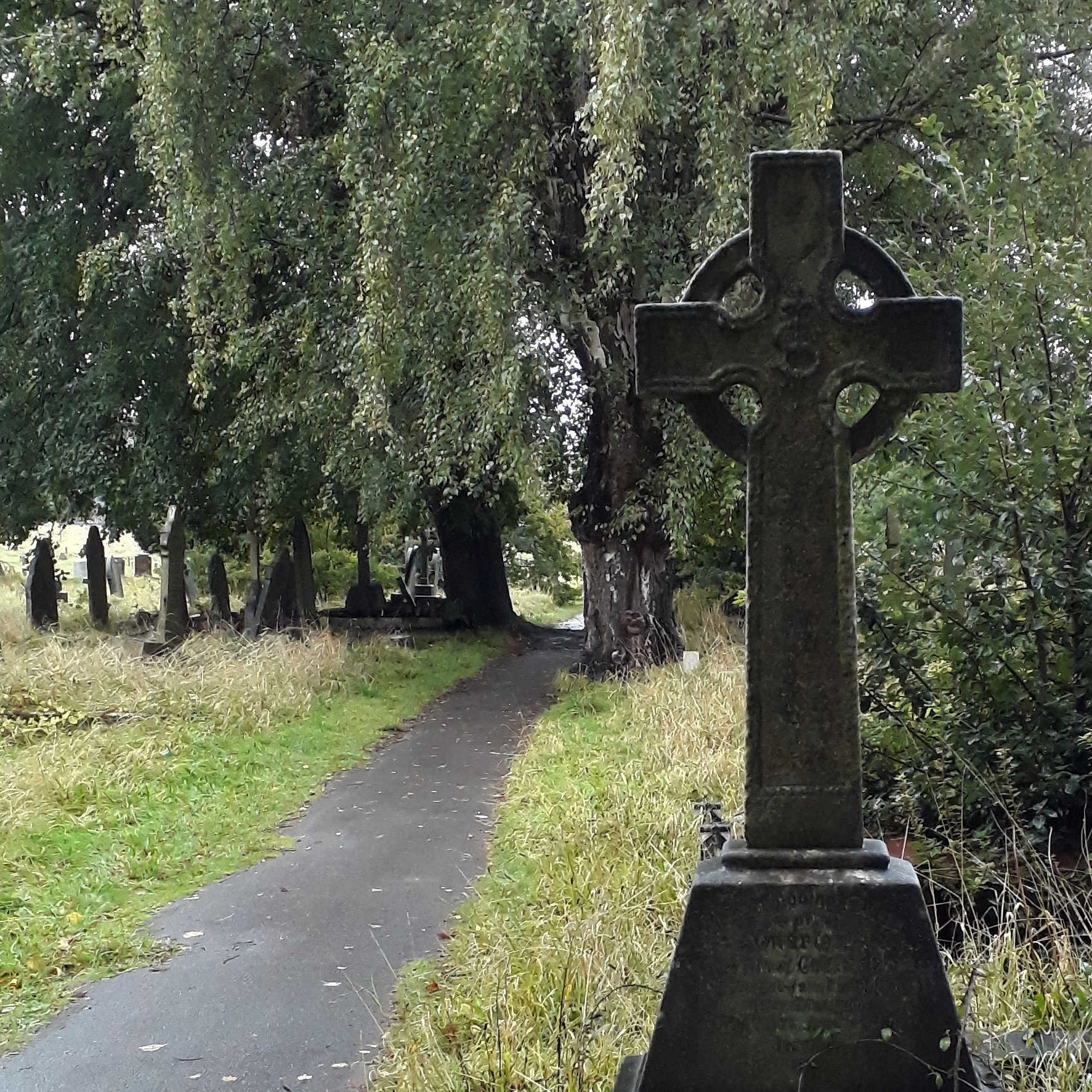
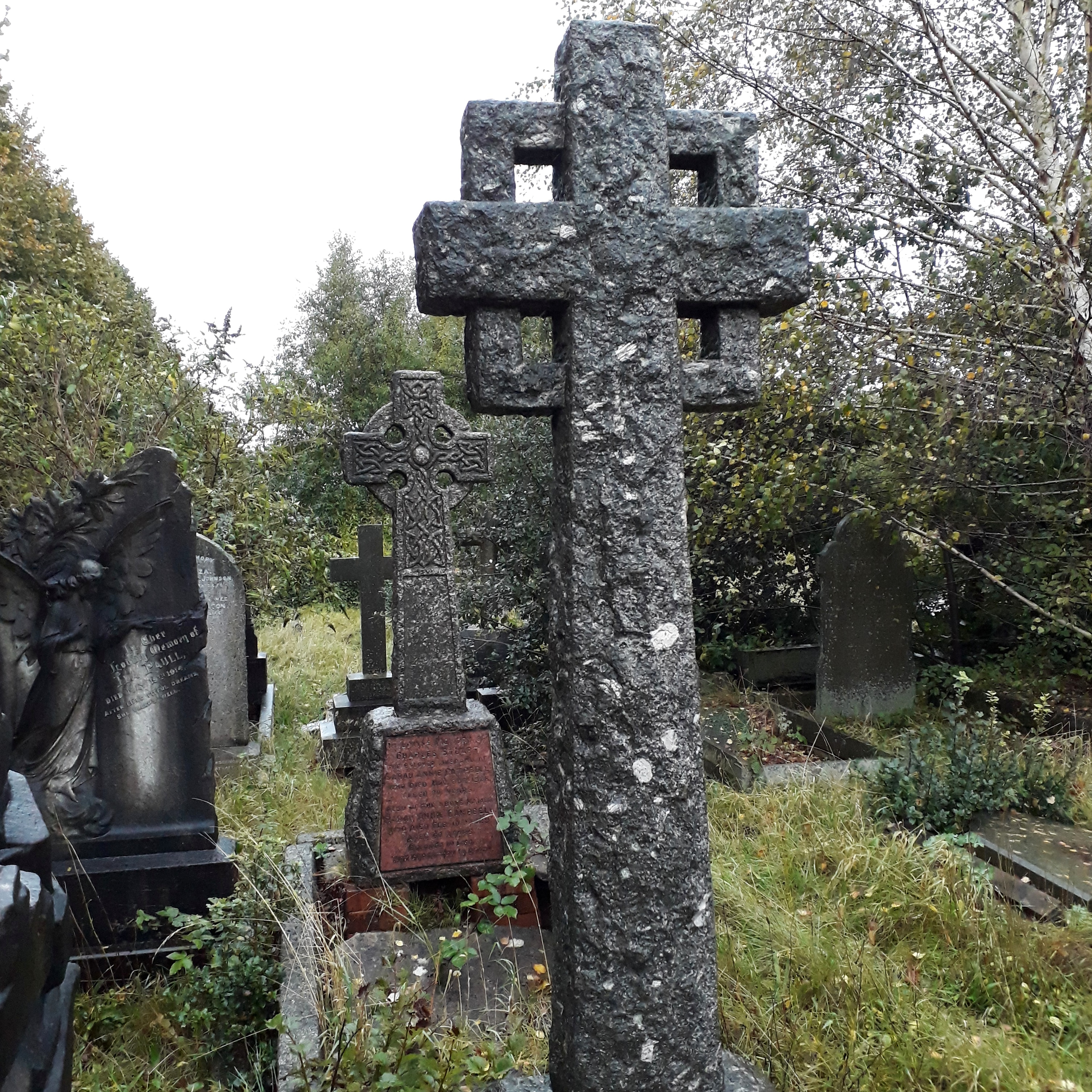
Yesterday, after the rain had stopped, we went for a walk around Greenbank, the local Victorian garden cemetery. It’s a lovely place to visit whatever the weather, but on a cold day, after a rainstorm, with drips coming from every branch and all of the colours having a dark rain-soaked richness, it is a beautiful quiet place to wander around. Even when the children are pestering you to turn around and head back home so they can have some hot chocolate and watch TV. “It is a very hot chocolate sort of day,” said The Child Who Likes Fairies.
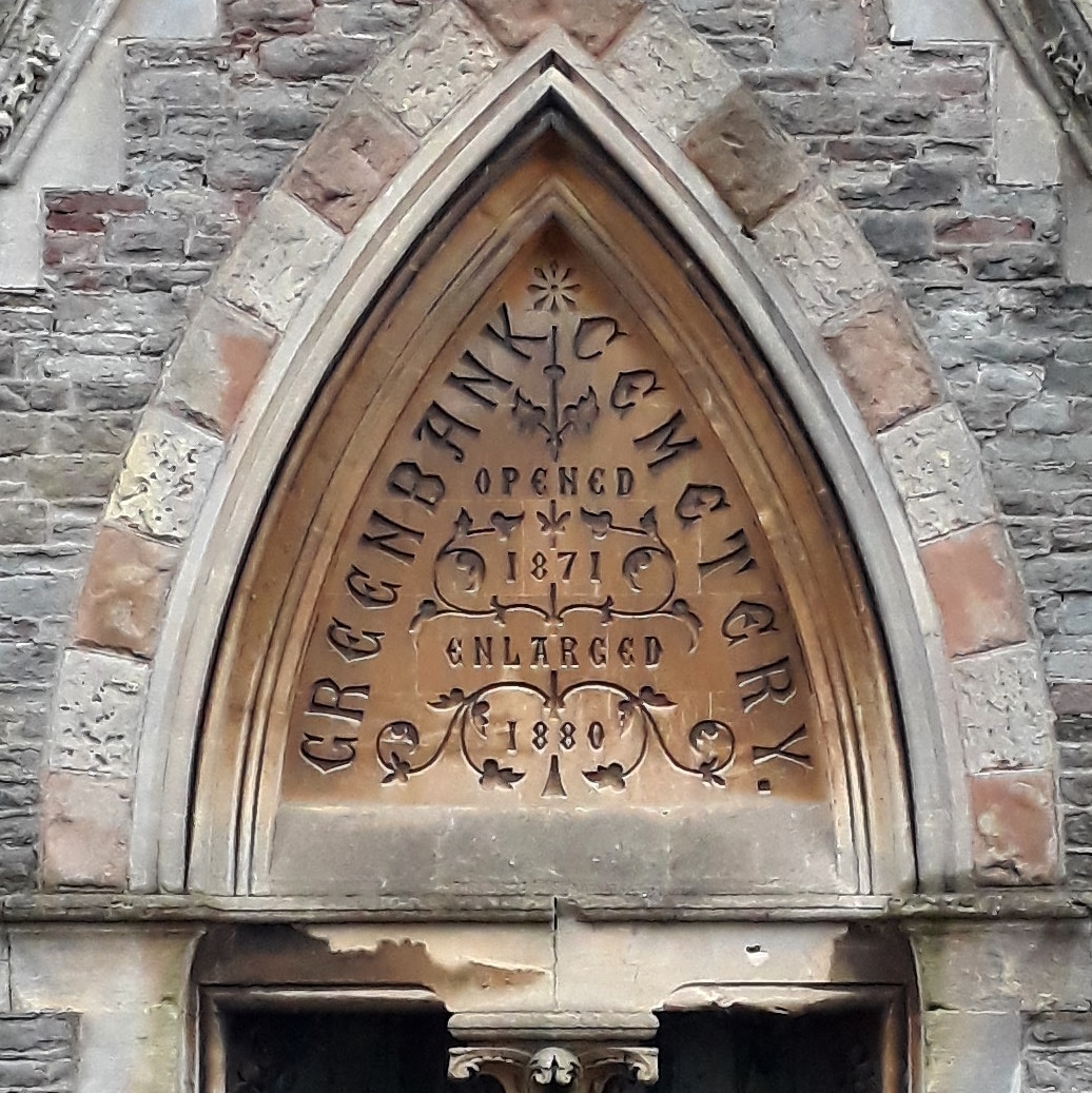
At the centre of Greenbank Cemetery is a connected pair of mortuary chapels: one for Anglicans, and a separate but identical one for other forms of Protestant. They have been derelict and fenced off for a long time, and their central wooden spire was taken down sixty or seventy years ago, but they are still surviving despite the failure of plans a few years ago to restore them and make them usable spaces once more. Above the entrance to the central atrium, between the two chapels, is a finely-carved inscription. “Opened 1871. Enlarged 1880.”
Nowadays when you look at Greenbank on a map it’s surrounded in many places: by roads, by housing, on one side by a disused railway line. So I thought I’d dig into the archives to find out what its original groundplan was, and which parts were extended. Luckily, thanks to the fantastic work of Know Your Place Bristol and their maps, this was relatively straightforward to do. This first map is dated to 1880-81, so it seems to be after the first phase of enlargement of the cemetery. If you don’t know the area, note that it is bounded by an open stream to the west and north, and that Greenbank Road goes up to the cemetery gates and no further. I assume the original area of the cemetery was the part centred on the chapels, and the extension was the area east of the line of trees.

In many ways, even without the big garden cemetery this would be a typical landscape for the fringes of a growing Victorian city: a hotchpotch mixture of farmland and unplanned speculative terrace-building. There are rows of houses without proper streets in some parts, streets laid out without houses in others, and a city-sized workhouse with its own private burial ground behind it. If I’d extended the map to the north or to the south, you’d see a typical Victorian park: Eastville Park on one side and St George’s Park on the other.
If we skip forward thirty years or so, we can see how much the landscape has “filled out”. Moreover, we can see how the cemetery has been expanded to the west. The stream has been culverted; the land to the north and south of the cemetery has been taken by allotments. This map is from 1912; I’ve traced a map from 1902 which doesn’t show this, so we can assume this expansion took place some time in the Edwardian period, more or less.

In that thirty years huge parts of Easton which previously had just been sketched out for development have now become packed terraced streets, and some of the terraces which were built along narrow paths now have proper roads to them. Schools have been built, and a church. There’s a lot less open space, but there’s still some, here and there. Fishponds Road has acquired trams, up in the top-left corner; and the workhouse have stopped burying their dead on their own land.
If you know the area, though, you’ll know that it does still look a bit different today. To see the modern layout of the cemetery, we have to move forward to a 1950s map.

This is the boundaries of the cemetery as it is today. Greenbank Road has been extended, and Rose Green Road has been widened to take traffic. The cemetery has swallowed up the allotments on either side of it, stretching out to reach the roads. This must have happened some time after 1938, as a 6-inch-scale map revised that year still shows the allotments. However, it can’t have happened very long after, going by the dates of some of the graves on the ground. These sections of the cemetery include a number of graves from the Second World War, including civilian victims and enemy prisoners.
What’s always puzzled me about this, though, is that still to this day the emptiest parts of the cemetery include some of the areas which were included in the original 1871 cemetery right from its opening. The north-western side of the original cemetery, which slopes quite steeply down to the course of the brook which marked the original boundary, is still empty of graves. It’s one of the areas being used nowadays for interment, along the line of a path which was put in place when the cemetery first opened. Meanwhile, the late-Victorian and the 1930s extensions are jam-packed with graves, many of them now overgrown and abandoned.
This is the point at which a proper essay on local history would be drawing to a conclusion and discussing what conclusions we can draw about the growth of cemeteries in provincial English cities. As for me, I just like looking at old maps. I think it’s a fair assumption, though, that that city council deliberately bought additional land around the cemetery with the aim of expanding the cemetery into it when required, and in the interim used it for allotment space. Of course, I also like wandering round a cold, damp cemetery, too.
At some point I’ll have to write more about that other burial ground marked on the map. That’s not just disused: for many years there was no sign of it at all on the ground, until a memorial was erected relatively recently. That, though, will be a story for another day.
Update, 2nd November 2020: We went back to Greenbank the other day, with my proper camera this time, to try to see if I could track on the ground any of the cemetery’s history of growth. Indeed, you can, if you know what to look for: however, it doesn’t quite marry up with the dates of the maps I’ve found. The new post about the cemetery’s history is here.

 Home
Home